Home » Keywords: » Reality Capture
Items Tagged with 'Reality Capture'
ARTICLES
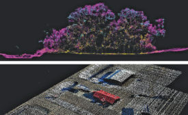
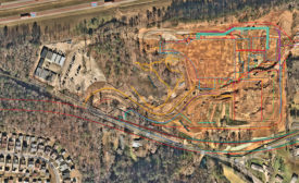
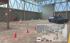
Jobsite Experiment Asks: How Best to Capture Reality?
LiDAR, 360° videos, point clouds, along with piloted and autonomous drone flights were all put to the test in a first-of-its-kind experiment
Read More
GIS
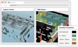
Esri Launches ArcGIS Reality to Bring Reality Capture Data Into GIS
New suite of reaility capture tools looks to enable site 3D Mapping
Read More
Technology
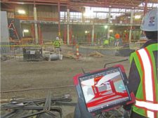
DroneDeploy Acquires Structionsite, Promises Integrated Reality Capture
Combined firm will offer both ground and aerial site documentation
Read More
Technology First Read
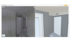
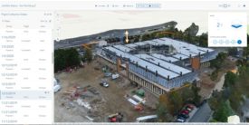
Digital Twins for the Construction Life Cycle Go Beyond the Finished Project
A 3D digital twin, with reality capture, is for the contractor as much as the owner or facility manager
Read More
The latest news and information
#1 Source for Construction News, Data, Rankings, Analysis, and Commentary
JOIN ENR UNLIMITEDCopyright ©2024. All Rights Reserved BNP Media.
Design, CMS, Hosting & Web Development :: ePublishing


-copy_ENRready.jpg?height=168&t=1660150075&width=275)


