This website requires certain cookies to work and uses other cookies to help you have the best experience. By visiting this website, certain cookies have already been set, which you may delete and block. By closing this message or continuing to use our site, you agree to the use of cookies. Visit our updated privacy and cookie policy to learn more.
This Website Uses Cookies By closing this message or continuing to use our site, you agree to our cookie policy. Learn MoreThis website requires certain cookies to work and uses other cookies to help you have the best experience. By visiting this website, certain cookies have already been set, which you may delete and block. By closing this message or continuing to use our site, you agree to the use of cookies. Visit our updated privacy and cookie policy to learn more.
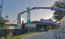
Stabilization of the wall strengthens the city’s waterfront business corridor against rising flood levels and protects an adjacent wastewater interceptor sewer.
Coastal communities face a $400-billion tab over the next 20 years to protect their shores from rising sea levels, according to a June 20 report from the Center for Climate Integrity and the engineering firm Resilient Analytics.
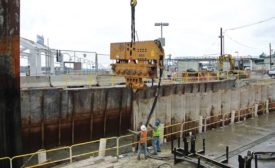
When Seattle looked to rebuild its 100-year-old Elliott Bay seawall in the downtown, planners knew it had to be stronger and better, but it didn’t necessarily have to be taller.
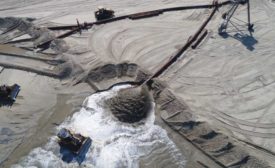
For nearly a century, oceanside communities, particularly those along the Atlantic, have used beach nourishment to safeguard buildings and infrastructure from the erosive forces of waves and tidal action.
Flooding from rising sea levels is nothing new to South Carolina’s largest city. In the 1830s, the mayor offered a $100 gold medal to anyone who could come up with a solution. No one ever did.
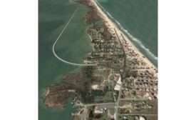
Maintaining Route 12, the main highway serving the barrier island of Hatteras Island, N.C., is a near-constant battle against the elements. Now, instead of continuing the battle, the state has decided to move the road.