Home » Keywords: » Hurricane Katrina
Items Tagged with 'Hurricane Katrina'
ARTICLES
Digging Deeper | Renovation/Restoration
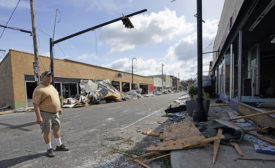
Renovation Gives the Big Easy's Dew Drop Inn New Life
Restoration of the New Orleans landmark intends to bring new life to the once bustling nightclub attraction
Read More
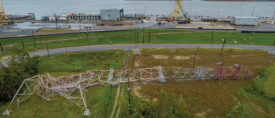
'Catastrophic' Ida Decimates Southeast Louisiana Electric Grid
All power transmission into New Orleans fails
Read More
Historic Site Complicates Housing Redevelopment
Project teams contend with historic renovation requirements and proximity to an ancient cemetery on housing project in New Orleans
Read More
Flood Protection and Hurricanes
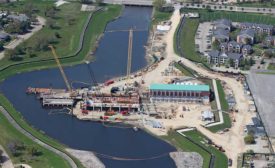
New Orleans Pushes to Finish Last Big Storm-Surge Project
The final post-Katrina flood protection project nears completion
Read More
The latest news and information
#1 Source for Construction News, Data, Rankings, Analysis, and Commentary
JOIN ENR UNLIMITEDCopyright ©2024. All Rights Reserved BNP Media.
Design, CMS, Hosting & Web Development :: ePublishing


