Related Article:
California Groundwater Mapping Homes in on Optimal Replenish Sites
Back to:
25 Top Newsmakers
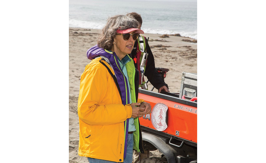
Stanford University geophysics professor Rosemary Knight had always loved math and science, but it wasn’t until she attended Queens University in Kingston, Ontario, as an undergraduate that she discovered what would become a lifelong passion: geophysics. “When I discovered all you could do by applying physics-based methods to studying Earth, I realized what I wanted to be was a geophysicist.” Later, she realized how important geophysical methods are in ensuring the sustainability of the planet. “Many of the challenges we face in terms of sustainability involve our limited understanding of how Earth works.” Among those challenges is ensuring that groundwater supplies are sustainably managed.
For the past 20 years, Knight has been a strong advocate for the use of geophysical technologies to better understand the architecture of California’s groundwater. In 2008, she founded the Center for Groundwater Evaluation Management at Stanford, partnering with local and state water agencies to demonstrate that geophysical technologies such as airborne electromagnetic (AEM) imaging can provide more sophisticated and detailed data about groundwater basins and potential recharge sites than the usual practice of drilling wells. AEM technology can measure subsurface electromagnetic changes to depths of 2,000 ft by collecting data using a geophysical instrument towed beneath a helicopter.
Interest in AEM technology has intensified since the 2014 enactment of the Sustainable Groundwater Management Act (SGMA), which established agencies across the state to develop plans for managing groundwater, Knight says. “Water agencies were struggling to put in place sustainable groundwater management plans because they didn’t understand what their groundwater systems looked like,” she says.
2016, Knight, along with University of California-Davis hydrology professor Graham Fogg, and Paul Gosselin, who at the time oversaw Butte County, Calif.’s groundwater management planning, wrote an influential white paper stating that AEM technology could provide a more efficient and less costly method for understanding the geology and architecture of California’s groundwater basins. The state enacted Proposition 68 in 2018, which provided $12 million for groundwater mapping projects using AEM technology. Knight’s team at Stanford subsequently led a two-year pilot project to develop methodologies and protocols for acquiring the data.
Now, through a grant from Stanford’s Doerr School of Sustainability, Knight is working with software engineers at Curvenote to translate AEM data into actionable information to identify potential groundwater recharge sites. “We will be taking what my research team at Stanford has done and packaging it in a way that it will be available for all to use as a web-based application,” Knight says.
Gosselin, currently deputy director of sustainable groundwater management at the California Dept. of Water Resources, says Knight has been a “great partner” and adds, “For California to advance towards groundwater sustainability, we are going to have to be innovative on data collection tools and approaches. She has clearly brought geophysical methods to the forefront of water resource management.”


Post a comment to this article
Report Abusive Comment