Precision Drones: The Next Evolution in Surveying
Next-generation precision drones using realtime kinematic GPS correction dispense with the need to establish ground control points when capturing highly accurate, globally referenced 3D data
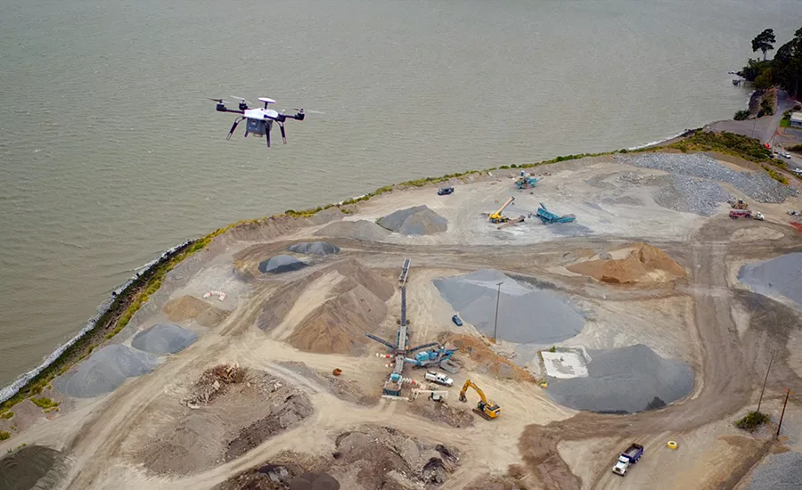
With almost all drones today, to get globally accurate 3D data, ground control points must be set around a site. A 100-acre site requires about 10 GCPs, which take a two-person team approximately two hours to place. The flight over that 100-acre site might take a half hour, meaning that 80 percent of the labor time is spent just laying GCPs.
For companies performing hundreds of surveys per year, time spent on GCPs adds up. Last year, one of our clients, Komatsu, realized it was spending hundreds of man-hours every month setting up, maintaining, and retrieving GCPs. In no uncertain terms, GCPs were slowing it down.
Thanks to customer input, we realized the biggest problem with today’s drones isn’t data quality or accuracy—it’s the speed at which data can be collected, processed, and analyzed.
Fortunately, next-generation drones leverage existing real-time kinematic (RTK) GPS correction networks to eliminate the need for GCPs. With GCPs out of the equation, time in field drops to just 30 minutes. And by pairing specialized hardware with powerful cloud architecture, these drones can calculate their global position within 3 centimeters. Data can then be downloaded from the cloud in just minutes, making for a quick, hands-off user experience.
But RTK-enabled drones don’t just accelerate survey time. They also augment the survey process, improving visibility and ground truth. By freeing personnel to use that data rather than waste time capturing it, they also reduce labor costs and reduce the possibility of human error.
Arguably their greatest advantage, though, is that they make possible accurate surveys of dangerous areas. Dams, for instance, are often built in treacherous, mountainous places that are prone to avalanches. But with RTK drones, companies don’t need to send people to such areas to lay GCPs.
The Final Days of GCPs
Looking for quick answers on construction and engineering topics?
Try Ask ENR, our new smart AI search tool.
Ask ENR →
Across the market, RTK drones are beginning to crop up. In addition to Skycatch’s EVO3X, both Parrot’s eBee RTK and Topcon’s Sirius Pro don’t require humans to manually place GCPs.
The Parrot and Sirius fixed-wing solutions are viable for long-distance, large-area scanning. Solar-powered, fixed-wing drones like the Airbus Zephyr will soon fly continuously, collecting data almost indefinitely 60,000 feet above Earth. They aren't, however, particularly suited to construction environments.
Such configurations struggle to take off and land in cramped, rocky, or muddy areas. They’re also rarely engineered to tolerate the dust, wind, and extreme temperatures of many remote sites. Given our work with Komatsu, Rio Tinto, and other industrial companies, we’ve invested heavily in making sure our equipment can withstand such conditions.
Considering how drastically GCP-free drones cut survey and transmission times, they’ll likely become standard in one to two years. Just like high-speed internet is now the norm, surveyors soon won’t settle for the drone equivalent of dial-up. But to be useful on-site, the quality and accessibility of RTK-enabled drones must match their capabilities. Precision drones may be a rare sight now, but they’re about to take off.
Christian Sanz is the founder and CEO of Skycatch, a drone data company based in San Francisco that provides end-to-end technology solutions for a wide range of industries. Christian is a U.S. Navy veteran with more than 20 years of experience in software and technical leadership.