Home » Keywords: » Houston Floods
Items Tagged with 'Houston Floods'
ARTICLES
Insurance
After Hurricane Harvey, What Will Your Builders' Risk Policy Pay For?
The deductible and the payout depend on the definitions
Read More
Natural Disasters
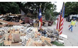
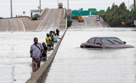
Contractors Start Digging Out, Evaluating Hurricane Harvey Damage
As the impact of the disaster grows clearer, many still lack power
Read More
Hurricane Harvey
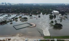
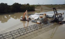
Army Corps Begins Decreasing Controlled Releases at Addicks, Barker Reservoirs
Property owners have filed lawsuits over the releases
Read More
Natural Disasters
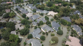
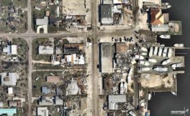
Hurricane Harvey Damage Revealed in Aerial Photos
Coastal communities hit hard by the storm show aftermath of floodwaters and high winds
Read More
Natural Disasters
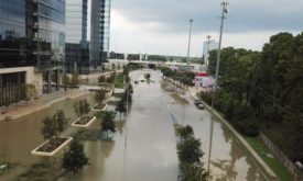
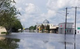
Aug. 27, 10:12 pm: ENR's Louise Poirier Checks In From Hurricane-Devastated Houston
Dry for now, surrounded by flooding from Hurricane Harvey
August 27, 2017
The latest news and information
#1 Source for Construction News, Data, Rankings, Analysis, and Commentary
JOIN ENR UNLIMITEDCopyright ©2024. All Rights Reserved BNP Media.
Design, CMS, Hosting & Web Development :: ePublishing
