ENR 2019 Top 25 Newsmakers
Jack Dangermond: Mapped a Path to GIS in Design and Construction

After founding the world’s leading GIS software provider in 1969, Dangermond, pictured at Esri’s headquarters in Redlands, Calif., is making sure Esri data can now be integrated into design and construction workflows.
PHOTO COURTESY OF ESRI
After founding the world’s leading GIS software provider in 1969, Dangermond, pictured at Esri’s headquarters in Redlands, Calif., is making sure Esri data can now be integrated into design and construction workflows.
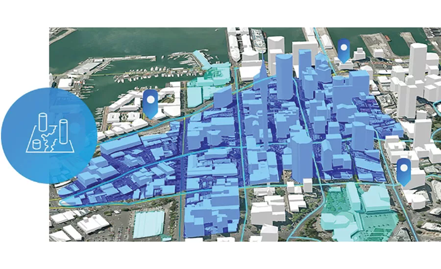
Jack Dangermond launched Environmental Systems Research Institute in 1969 as a nonprofit, land-use consulting firm. It evolved into the world’s largest geodatabase and mapping software provider.
“[Back then] I was playing around with digital representations of geographic data,” he says. “My passion was environmental planning and the ability to abstract geographic data into the computer. That allowed me to develop models for watersheds, models for traffic, models for urban planning, and environmental models.” Today, the firm known as Esri has a 43% share of the GIS software market worldwide, informing decision-making for federal agencies, major landowners, cities and departments of everything from planning to transportation. While his company generates billions of dollars by supporting building decisions, Dangermond always wanted the data that GIS developers create to inform more decisions, particularly ones by construction users of BIM software. After abandoning its own attempt to get into mapping, Autodesk approached Dangermond in 2017 to partner on doing just that. Now, new workflows are putting Esri data into the hands of construction professionals.
“One of the things that attracts both of us to this unification is this idea that we can, through our customers, build tools that help them do their work in a more enlightened and effective way,” Dangermond says. “Not just interoperability, but increasing into one set of systematic workflows that cover the planning and design, engineering and building worlds.”
Esri acquired Brockwell IT Consulting of Canada, a company that assists in transferring Autodesk and Esri data, to help move that transition along this year, and both companies have devoted engineering resources to the process.
“We’ve accomplished some connections,” Dangermond says, “but there’s a whole team on both sides that is now just dedicated to making sure these data sets are built.”
Antoine Burdett, principal for information management at AECOM, is working on an Australian highway project and says he now can more easily move a BIM into a GIS map with attributes. “It gives the ability to see critical infrastructure upgrades and modifications and help clients understand how proposed designs will impact them geographically,” Burdett says.
In December, California released a publicly available GIS portal with Esri data of its water, forestry, fire, emergency management, transportation and other departments now available to the public. It’s something Dangermond wants to see happen nationwide.
Back to ENR's 2019 Top 25 Newsmakers
Looking for quick answers on construction and engineering topics?
Try Ask ENR, our new smart AI search tool.
Ask ENR →


