New Book Addresses Basics of Machine Control But Lacks Advice On How To Digitize Civil Plans
It’s been about 10 years since earthmoving contractors began playing around in earnest with three-dimensional grade controls guided by global-positioning systems, which can speed up estimating and shaping earthwork by 30% or more. A new book explains the ins and outs of how to set up a grade-control network on the jobsite.
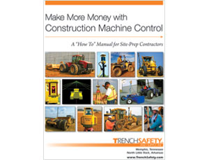
Researched, written and published by the staff of Memphis-based TrenchSafety and Supply Inc., the book explains how grade controls, such as lasers and GPS, can displace traditional staking costs on a large-scale contract, which can run up $100,000 or more in surveying fees. “You can also see significant savings on smaller jobs, such as fast-food restaurants and convenience stores,” add the authors of Make More Money with Construction Machine Control ($29.95).
Though it surveys the basics of machine control, the process of adopting the method is not as easy as the book describes. While contractors may find it relatively painless to fit dozers and motor graders with digital receivers, the workflow is to earthmovers what building-information modeling is to concrete or steel erectors: You can’t start building anything until you have a digital layout of the site, both in terms of what is there today and what needs to be there tomorrow. After you plug in the data, you can let the workers and machines go to town.
One chapter mentions this problem in Step One of the setup process: “The engineer, the contractor or a third party creates the Digital Terrain Model from the original drawings on site.” Easier said than done, and you still have four more steps until you can start moving dirt. This book is a good start, but the industry could benefit from a second one that addresses how to digitize earthwork plans.
