Katrina Spawns a Decade of Flood Protection Design and Construction
The additional land between the Gulf of Mexico and greater New Orleans can help dissipate the storm surge before it reaches the city. While the coalition says every 2.7 miles of wetlands can reduce storm surge by 1 ft, Jacobsen is skeptical that the coastal defenses can make a negligible impact on surge.
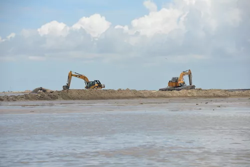
A recent flyover of the coast around New Orleans shows how sediment diversion, rebuilding land bridges and even blocking off the Mississippi River Gulf Outlet is helping to build back land lost since 1932 because of levee construction, oil and gas canals, cypress logging and, of course, hurricanes.
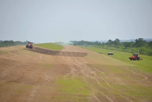
Where there are diversions that attempt to recreate the once-unleveed flow of the Mississippi River, bright green new vegetation rings the water, and cypress saplings are being replanted with the hope they will add more stability.
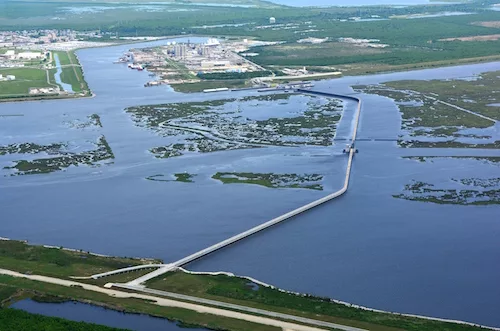
There are great expectations for what will likely be the first sediment diversion project in the state’s coastal master plan: the Mid-Barataria Sediment Diversion planned for Plaquemines Parish. It is designed to funnel Mississippi River water—and sediment—to Barataria Bay to help rebuild the bay’s wetlands.
The state has received about $40 million for engineering and design for that diversion project, which could move up to one-tenth of the Mississippi River, between 50,000 and 75,000 cu ft per second of water, into the bay.
Bob Beduhn, director of natural resource management at Omaha-based HDR Inc., is one of the engineers working on that diversion and is also an expert on resiliency.
He is not as focused on the impact the diversion project will have on coastal safety as he is on overall resiliency of the entire coastal system—infrastructure alongside community.
A focus on infrastructure resilience means little if the communities don’t benefit.
“There’s a big pile of dirt and a big wall,” Beduhn said. “The real issue is how does it factor into supporting the community.”


