
GIS (Geographic Information System) plays a crucial role in asset lifecycle management for a variety of reasons. GIS allows organizations to manage the spatial data associated with assets. Integrating spatial data into asset management systems helps organizations to gain better insights into the geographic context of their assets. GIS also enables real-time tracking and monitoring of assets across their lifecycle. This includes visualizing asset locations, status, and performance metrics. This supports more efficient asset management, maintenance scheduling, and resource allocation.
For all of these reasons and many more, one of the most important aspects of GIS supporting the Asset Lifecycle is simply better decision making. GIS provides decision support tools for asset planning, design, and optimization. By visualizing asset data in spatial contexts, users can consider various scenarios and make informed decisions to enhance asset performance and lifecycle outcomes.
Understanding why this is important obviously determines the foundation for what the desirable outcomes should be. The important question now is what people and organizations need to do to achieve these outcomes. Also understanding what gets in the way and how you can work through any challenges.
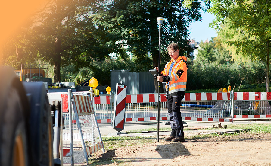
First is the field data acquisition. GIS data is not just automatically assigned to every asset in the field and cannot be considered from design intent because changes happen in the field. So what have people done to support these efforts?
During the recent e-Merge conference hosted by Infotech there was a Panel discussion that included cities of St. Louis, MO and Muscatine, IA where these topics were discussed. The session title was Exploring GIS-Enabled Construction Inspection with the City of St. Louis and the City of Muscatine, so it is very relevant to this topic.
How can an agency increase the volume and accuracy of geo-located asset data?
Leveraging technologies like the new GeoBridge application built by Seiler Geospatial that connects Infotech construction management solution Appia to Esri’s field data collection system Field Maps is a great place to start!
Matt Poirot, Chief Construction Engineer for the City of St. Louis Board of Public Service says “It's about being able to leverage more of our employee base. Being able to have water, water crew operators, distribution operators who are able to collect the information. So that we're not coming back out there to a job site that they've already been to, our workers are able to collect the information with minimal training and we have buy-in from them.”
The people collecting field data using Field Maps (from whatever minimally trained available group is assigned) need zero knowledge of Appia. They collect the data using the tools and methods they were taught. GeoBridge does the rest. It automatically creates the daily work report for the specific inspector(s) in the proper Appia project. From that point it’s managed like any other Appia project by trained personnel.
Providing tools that give inspection abilities to more of your staff is one important step. So, what happens with that data once it’s been collected and organized?
“We manage the construction projects, but we don't really maintain the assets. We have a street department, we have the traffic division, we have the water department, you know, MSD handles our sewers. So essentially, we're managing the project and turning it over to other departments for maintenance. So being able to push all this data over to them and let them put that right in their maps would be really helpful” says Poirot.
Mark Yerington, Manager, Utility Solutions, Muscatine Power and Water, City of Muscatine, Iowa agreed with the way St Louis approaches this field data collection and moving data from the field to the office and on to the asset management system. Yerington said, “You know, all those utility things, all your assets, you have to do specific maintenance on them. And with Field Maps and dashboards and things like that, we're able to keep track.”
How will people evolve and adapt to new technologies and changing workflows?
